CityEngine vs. Shapezo: A Practical CGA and Map-Based AI Workflow
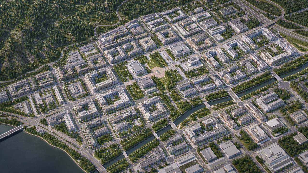
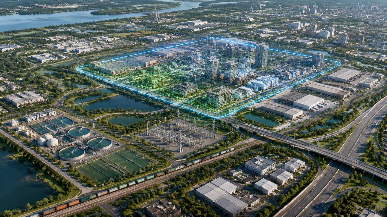
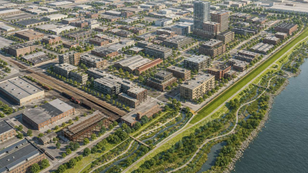
I use CityEngine and Shapezo for early urban studies, but I do not treat them as interchangeable generators. CityEngine takes GIS or CAD inputs and applies CGA rules to produce structured, repeatable city geometry. Shapezo takes a user-selected map region and uses AI to generate an initial 3D model for that frame.
This guide shows how I combine their strengths while keeping the data and assumptions visible.
Step 1: Define the scenario contract
I create a manifest with the boundary, coordinate reference system, units, north direction, elevation reference, source dates, intended level of detail, and review question. I also mark which outputs are exploratory and which objects must be rebuilt for authoritative work.
The contract is small, but it prevents a procedural scenario and an AI scene from being compared with different scales or ground levels.
Step 2: Prepare CityEngine inputs
I inspect parcel polygons, roads, building footprints, terrain, and attributes before opening the rule editor. I look for duplicate features, invalid geometry, missing heights, inconsistent classifications, and gaps in the surface. I keep an untouched source copy and prepare a working layer for cleanup.
I then write a compact CGA rule set. Typical parameters include floor height, floor count, setbacks, frontage splits, roof type, facade rhythm, and material groups. I keep the rules readable and save a baseline scene before testing variations.
I change one parameter at a time and confirm that the expected geometry responds. A parameter that exists in the interface but does not influence the intended objects is a workflow defect, not a minor detail.
Step 3: Generate the Shapezo context
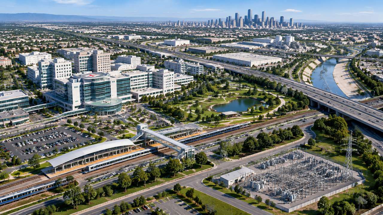
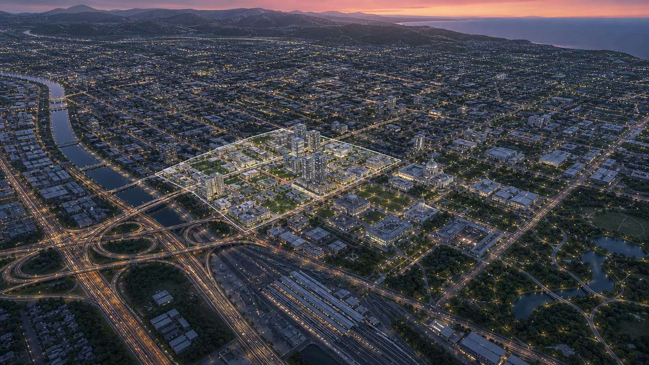
I draw a boundary in Shapezo around the parcel and the streets, parks, barriers, or terrain that influence the decision. I save the boundary, orientation, date, and generation record with the scene. The output is an AI-generated study model, not a survey, permit model, or engineering dataset.

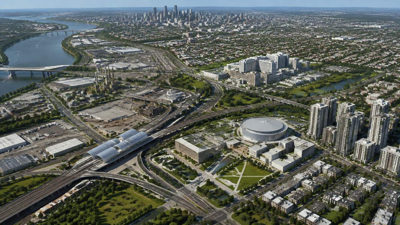
I validate the first frame by checking major streets, relative building heights, public-space connections, visible rail or water edges, and large slopes. I label uncertain objects as generated or estimated and move exact claims to current references.
Step 4: Normalize both outputs
Before combining scenes, I align units, origin, ground level, and north direction. I save the transform separately and leave the source exports unchanged. I use the same aerial, oblique, and eye-level cameras for each comparison.
CityEngine options vary through rules and attributes while the source boundary remains stable. Shapezo options vary through map framing or regeneration. I keep those two kinds of variation distinct in the file names and review notes.
Step 5: Add provenance
I label objects as GIS input, CAD input, CityEngine procedural output, Shapezo AI output, estimated, manually edited, or rebuilt. I store CGA files, parameter values, selected boundaries, source dates, generation records, transforms, and screenshots in versioned folders.
This lets another person answer practical questions: Which rule generated this roof? Which layer supplied this road? Was this height sourced or inferred? What changed between revisions? Provenance makes mixed automation reviewable.
Step 6: Validate geometry and performance
I check coordinate consistency, bounding boxes, object count, face density, normals, material slots, and file performance. I test CityEngine rule propagation and compare Shapezo relationships with current imagery, planning information, survey data, or authoritative GIS layers.
When the model supports an engineered decision, I rebuild the responsible geometry in the appropriate production environment. Civil 3D can handle designed surfaces, alignments, corridors, and networks. Revit or another BIM tool can hold coordinated building information. Blender can clean meshes and prepare advanced rendering. CityEngine and Shapezo remain scenario and context sources.
Step 7: Choose by the question
I choose CityEngine when repeatable rules, semantic attributes, and batch urban variations are central. I choose Shapezo when I need to frame a place quickly and can tolerate an approximate first scene. A practical sequence is Shapezo for orientation, CityEngine for controlled alternatives, and specialist tools for verified geometry.
The workflow succeeds when another person can reproduce the scene, identify uncertain objects, and explain which design question each view supports. That standard matters more than how finished the first render appears.